Blab Tech
MIT Develops Sonar-MASt3R System to See Through Murky Underwater Environments
High‑resolution images of the ocean floor cover only a sliver of the world’s depths, leaving scientists, engineers, and emergency responders without the detail they need to study ecosystems, maintain subsea infrastructure, or retrieve dangerous debris. The main culprits are crushing pressure, the slow speed of data transfer, and the cloud of suspended particles that smears light.
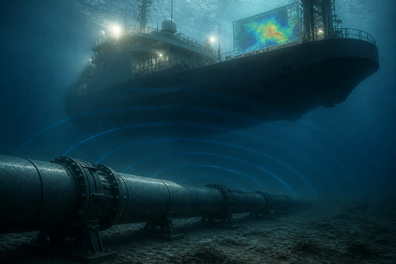
MIT’s robotics and computer‑vision team has tackled the visibility hurdle head‑on with a new imaging system called Sonar‑MASt3R. By marrying a standard underwater camera with an acoustic sonar sensor, the system stitches together real‑time, three‑dimensional maps even when the water is turbid. The design is meant for scenarios where sediment or other particulates make the water look like a milky soup.
Sonar‑MASt3R extends the existing MASt3R image‑processing framework, which can infer relative depth from ordinary photos but cannot nail absolute scale. Without scale, a reconstructed object may look right but its distance from the camera remains a mystery. Adding sonar data supplies precise distance measurements, allowing the camera‑derived model to be correctly sized. The fusion is likened to a dolphin’s echolocation guiding a sea turtle’s sharp‑eye vision: sonar first sketches a rough terrain that steers the vehicle toward points of interest, after which the camera captures fine detail.
To validate the approach, the MIT team built a controlled tank housing a coffee mug, a packing crate, and a small boulder. A robotic arm equipped with both camera and imaging sonar swept the tank while researchers stirred sediment to dial up turbidity. The system was challenged across a spectrum of visibility, from crystal‑clear to near‑blackout conditions for conventional cameras.
The results were striking. Sonar‑MASt3R outperformed earlier opto‑acoustic fusion methods, delivering more accurate 3‑D reconstructions and resolving centimeter‑scale features that were previously missed. Even when the camera could not see an object through the murk, the sonar‑generated map guided the arm safely toward it, enabling the capture of the visual data required for a detailed model.
Looking ahead, the team plans to take Sonar‑MASt3R beyond the laboratory and into real‑world waters. They anticipate that the system will excel outside the tank, where fewer acoustic reflections and interference will occur. Possible uses span scientific exploration, deep‑sea archaeology, underwater construction, infrastructure inspection, and the recovery of hazardous items such as unexploded ordnance.
Today, Sonar‑MASt3R remains a research prototype. The next milestones involve field trials in open water and integration with autonomous underwater vehicles. The technology marks a notable leap forward in underwater robots’ ability to perceive their surroundings under low‑visibility conditions, a capability that has long constrained ocean mapping and related missions.